
iiif-service_gmd_gmd401_g4011_g4011p_rr004770-full-pct_25-0-default
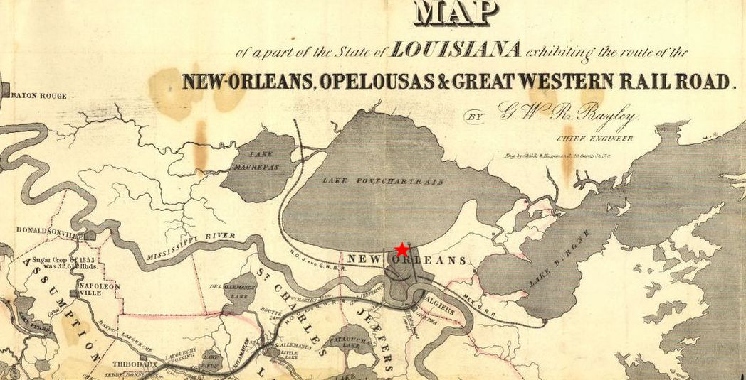
portion of Bayley, G. W. R. & Childs & Hammond. (1853) Map of a part of the State of Louisiana exhibiting the route of the New-Orleans, Opelousas & Great Western Rail Road. [New Orleans Eng. by Childs & Hammond] [Map] Retrieved from the Library of Congress, https://www.loc.gov/item/gm72003017/.